Ridge Trail Stats
Mileage: 10.57km/6.57miles
Elevation gain: 312m/1,023ft
Litter collected: 17 pieces
Total Hike Stats
Total mileage: 21.92km/13.62miles
Elevation gain: 728m/2,388ft
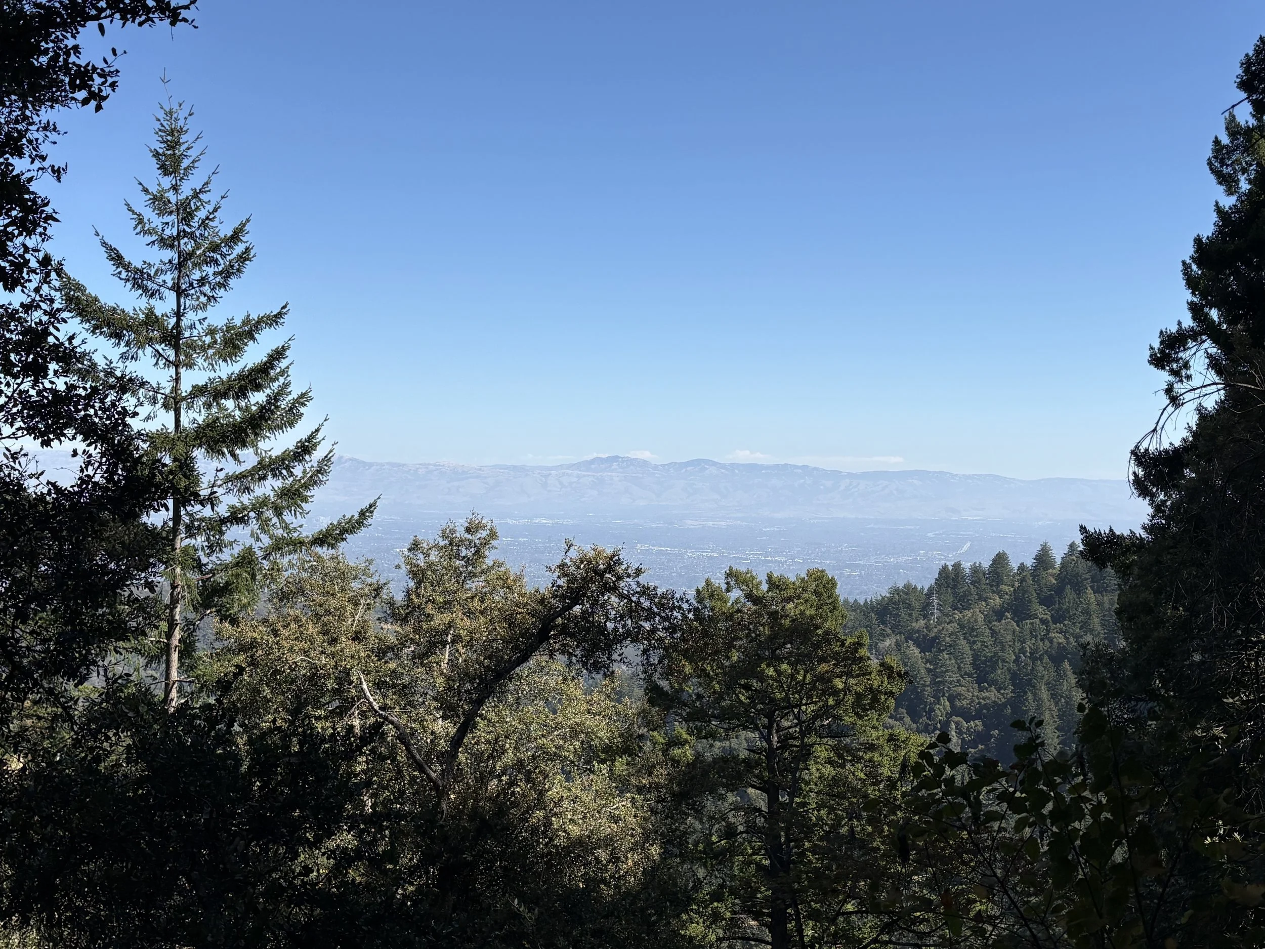
A perfect day and gorgeous trail section to start my Bay Area Ridge Trail adventure. Deep shade through the trees, this section is well maintained with an easy grade. For hikers seeking major views: this one's not for you. But because I gained my hiking experience in places where views are not the norm (the bush in Aotearoa's North Island is dense and often does not let up even at the summit and the views in Northern Ireland are often obscured by fog or rain) it was perfect for me.
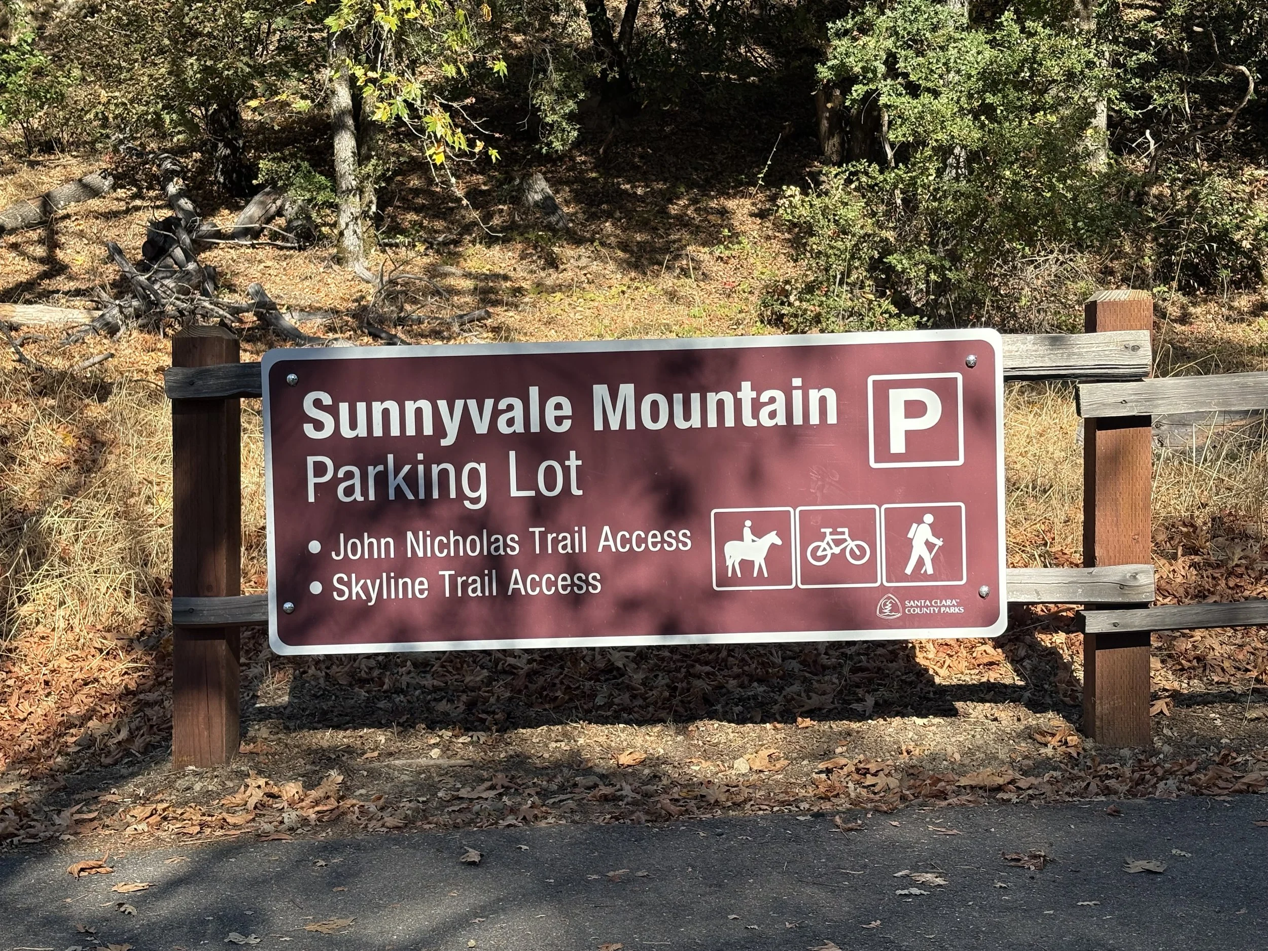
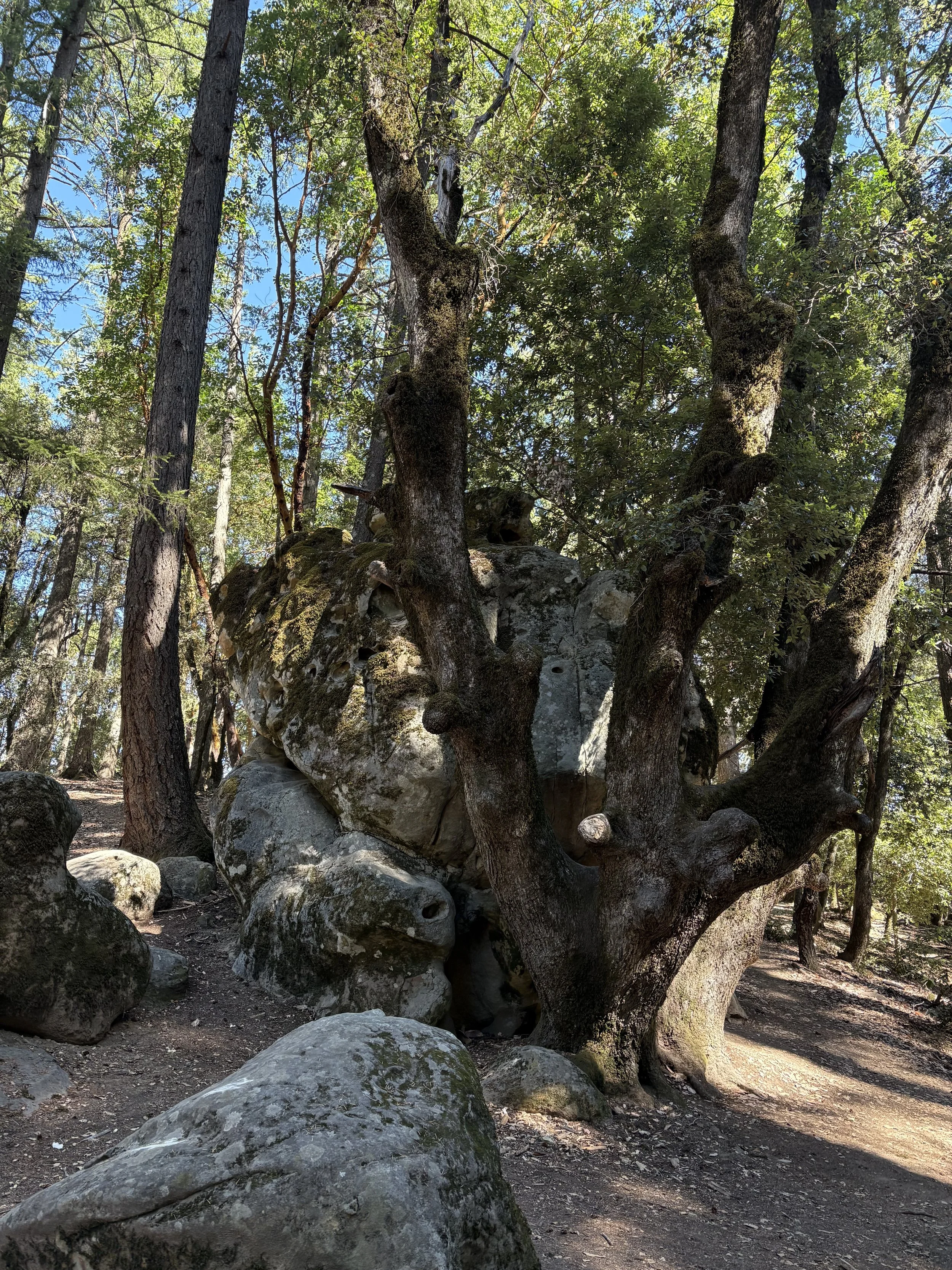
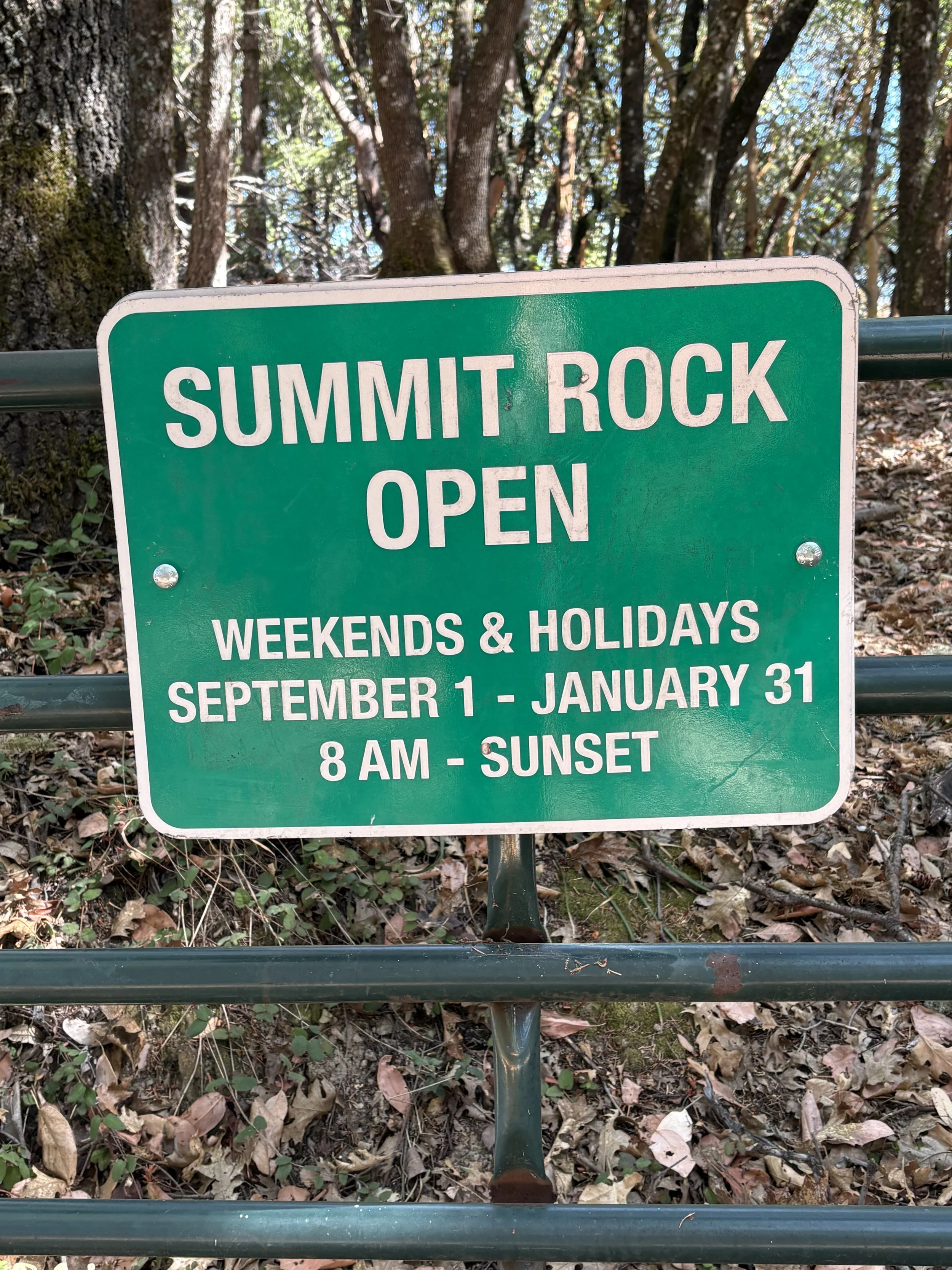
The parking lot at Sunnyvale Mountain is small, but easy to find and has a portapotty. The trail is mostly well-marked, but did require some map navigation at certain junctions. The Sanborne section is dog-friendly, but the rest isn't. Summit Rock can be closed seasonally for peregrine falcon nesting, but since it was open on the day of my hike I took a quick (but steep!) detour - well worth checking out, and an excellent lunch spot. Lunch today was a cheese sandwich with Branston Pickle and bread from the farmers market.
The trail follows Skyline Blvd, and while it was quite for my mid-week hike I can imagine that there is a fair amount of road noise on the weekends. Not much wildlife spotted - some scrub jays and a snake - although I did see a family of deer on my drive to the trailhead.
September 28, 2026