Ridge Trail Stats
Mileage: 6.2km/3.85miles
Elevation gain: 297m/974ft
Litter collected: 7 pieces
Total Hike Stats (estimated as my watch battery died)
Total mileage: 12km/7.46miles
Elevation gain: 400m/1,312ft
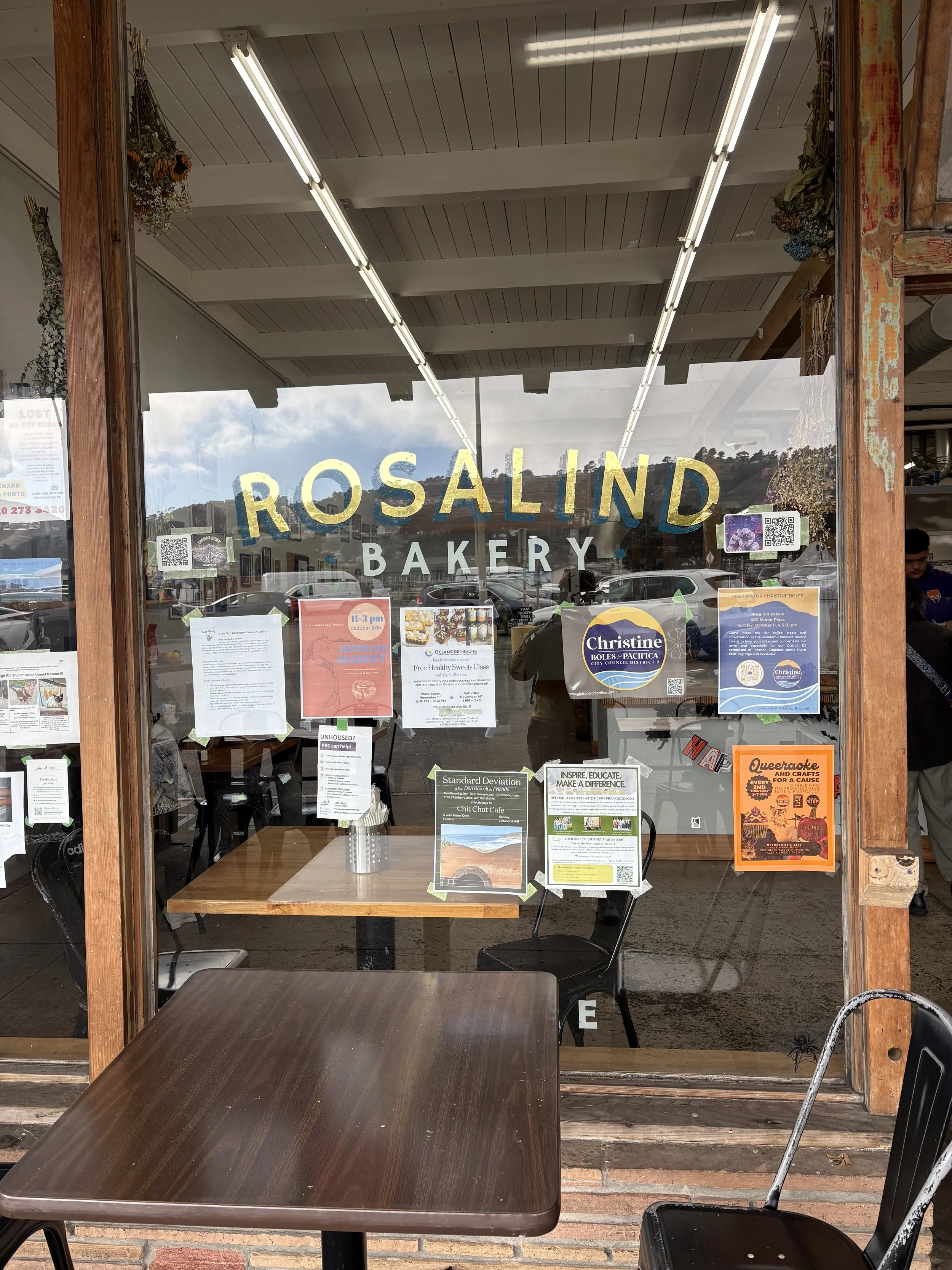
This newer section of trail isn’t in my copy of the Bay Area Ridge Trail book, but was listed on their website so I figured I’d give it a shot. Starting on the road in Pacifica towards Mussel Rock, parking was on-street only, but it was free. There wasn’t a public bathroom in sight, so first things first I went a little off-route to find a cafe. I stumbled across a great little spot - Rosalind Bakery - which I highly recommend. The place was hopping and had a jazz band playing, which was just delightful. Not one to just take advantage of a small business's bathroom, I grabbed a pastry for later and started my walk with a chai latte in hand.
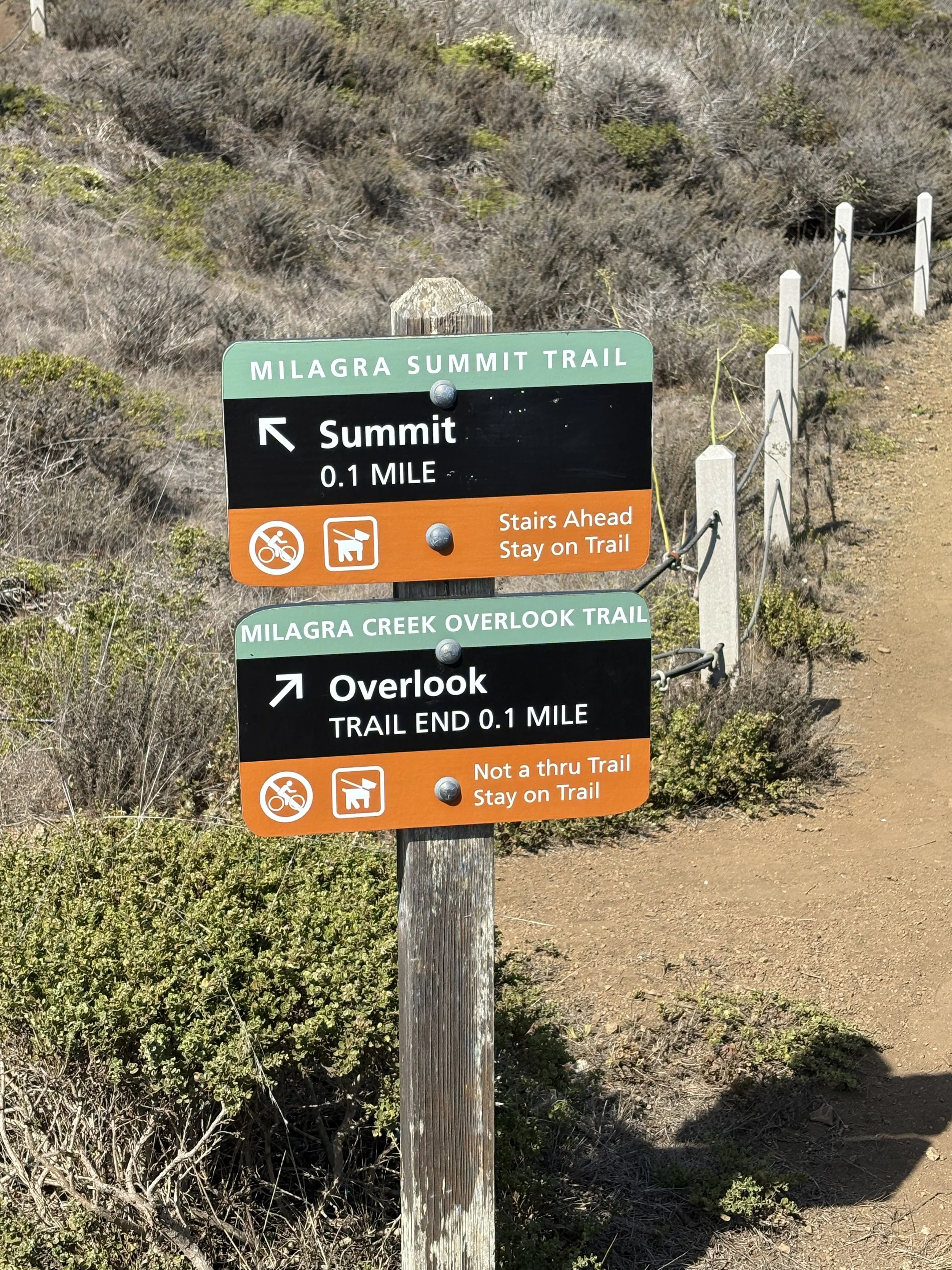
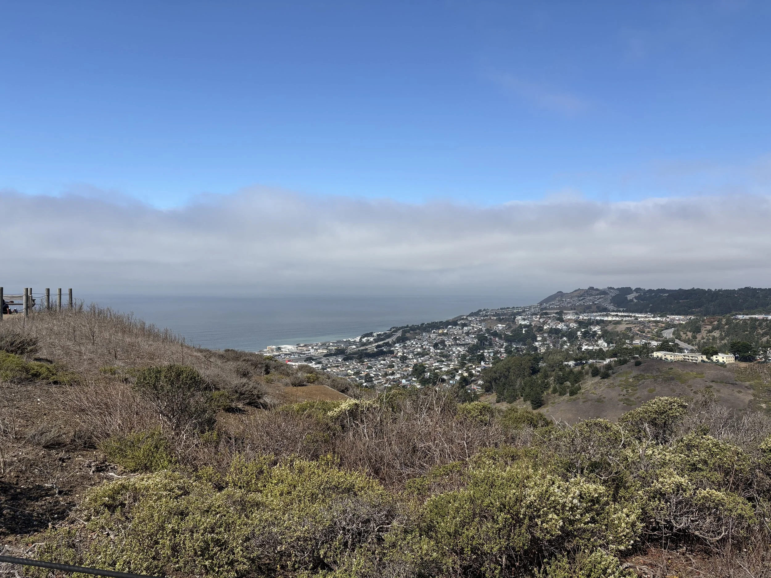
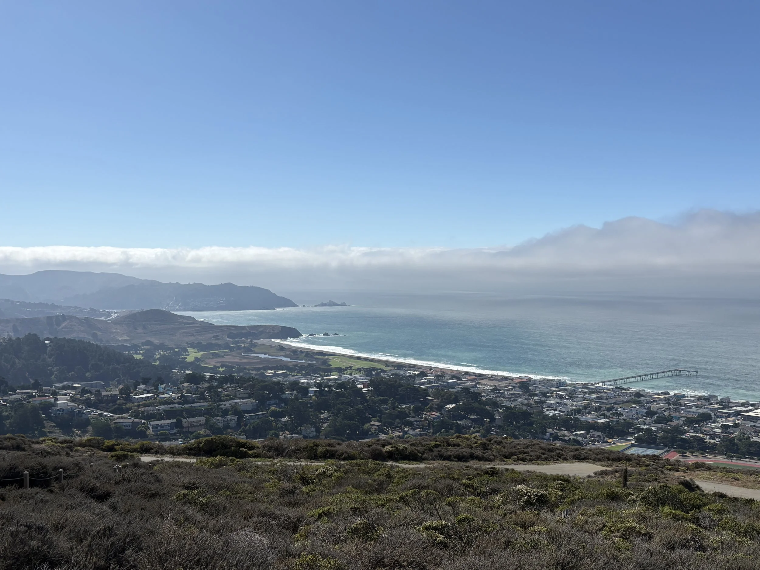
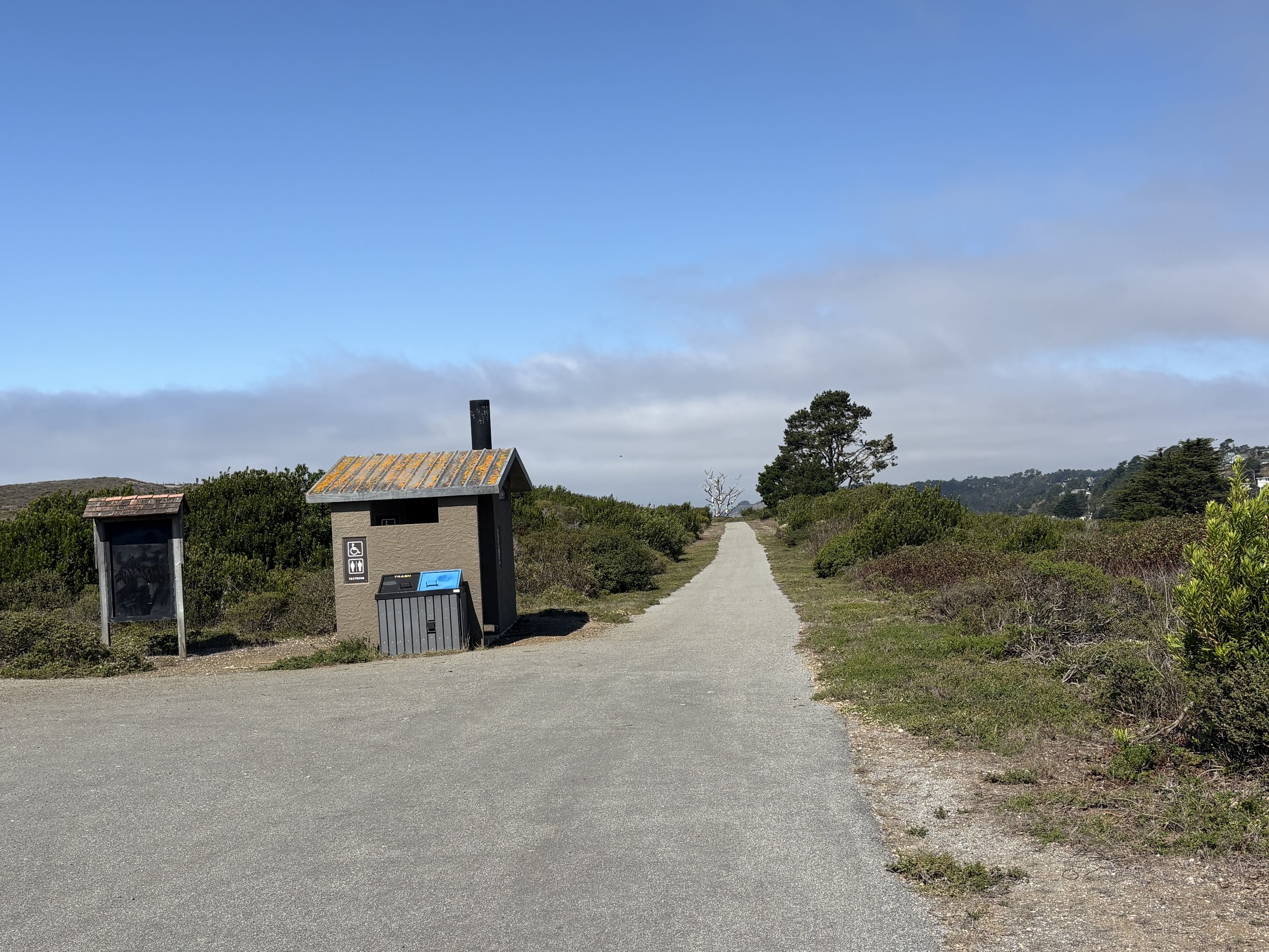
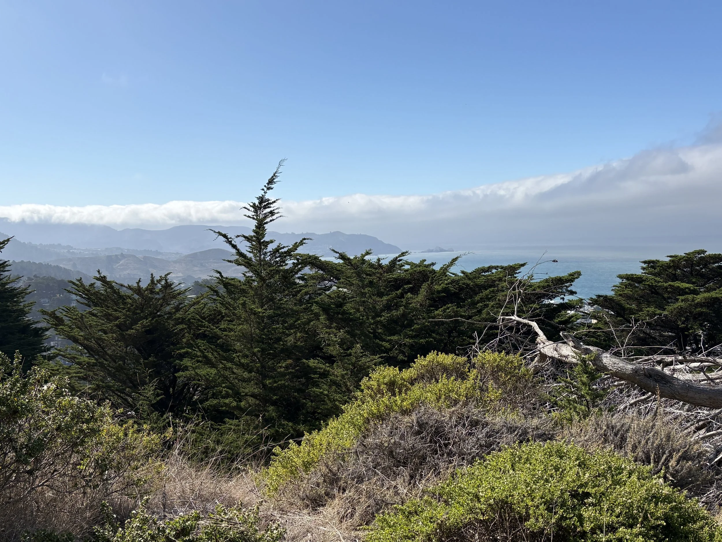
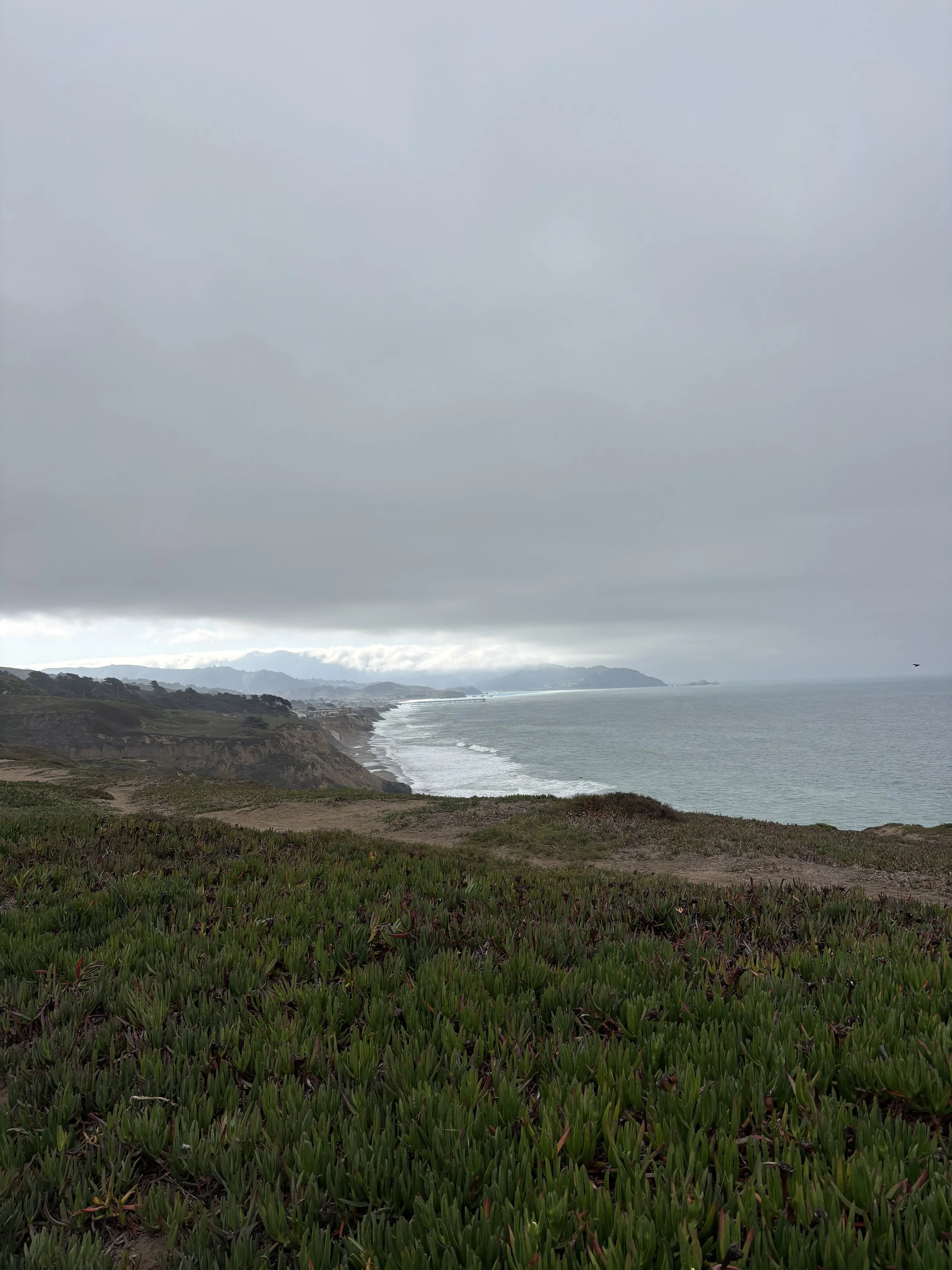
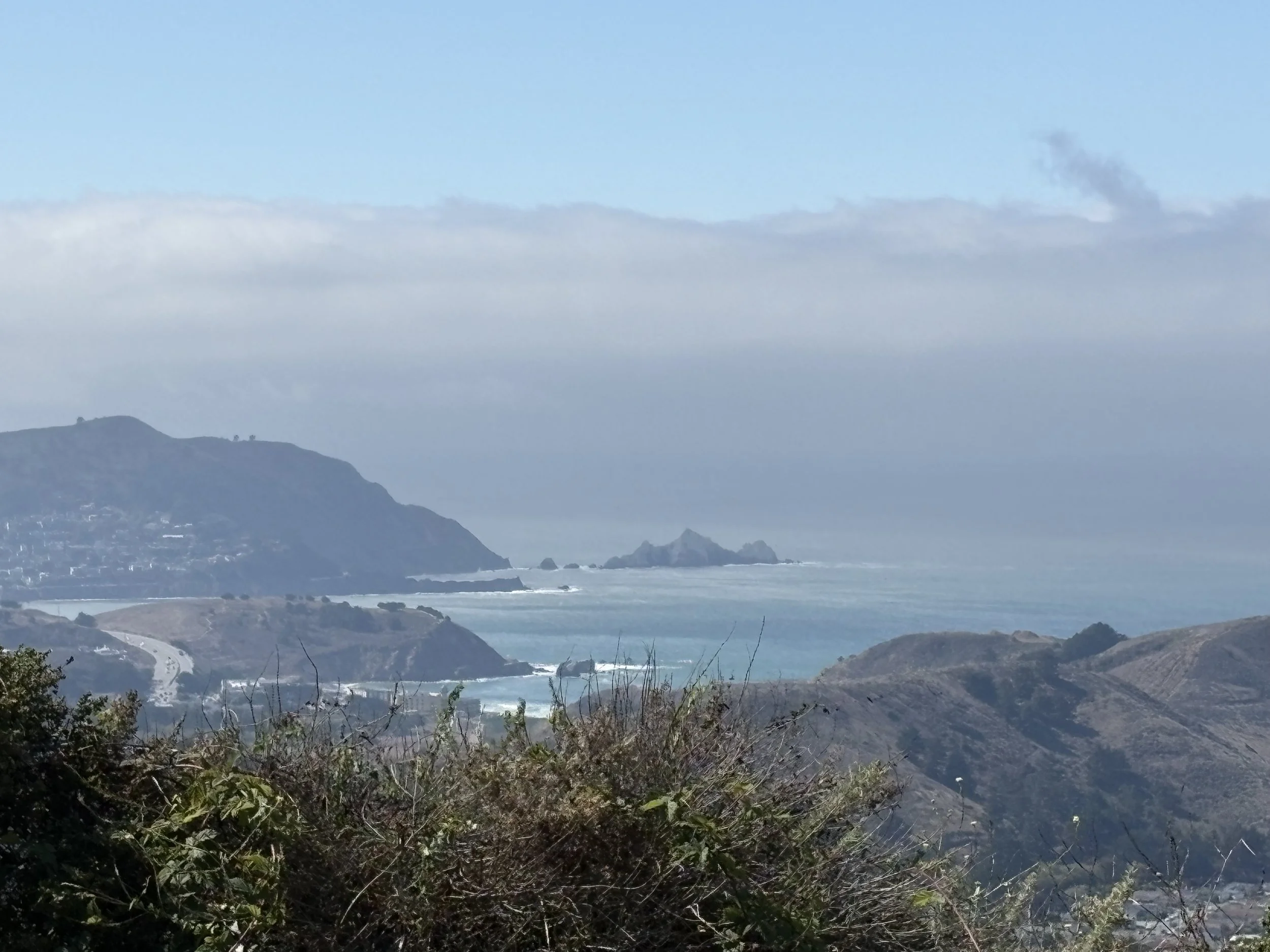
The trail initially takes you along paved roads next to the ocean, before quickly heading inland via a pedestrian crossing across Highway 1. Not exactly the prettiest stretch here, but before too long I was walking through a nice neighbourhood to Milagra Ridge, part of the Golden Gate National Recreation Area. Bay Area Ridge Trail signage became scarce immediately upon entering Milagra Ridge so I opted for paths closest to the clifftops assuming they’d provide me with the better views, and boy I was not wrong. The day was clear and I was rewarded with stunning views down the coast. A short (0.2) mile detour to Milagra Summit was well worth it, and the trail also takes you past old gun batteries and a Nike Missile site.
Out the other side of the recreation area into a small but lovely suburb, then it was along a stroad and through the Skyline College campus to finish up where I started my hike last week.
On the return trip I opted to follow the road through Milagra Ridge rather than the clifftop trails, and decided I’d been smarter the first time around - the views from the clifftops are infinitely better. Then it was back to my car and on home.
October 9, 2026